The first Bike North Penn Community Ride of the 2025 took place on the evening of Wednesday, March 26. This continues our tradition of our first ride taking place in North Wales Borough, on what was a chilly, but pleasant night. As usual the ride started and ended at the Tex Mex Connection.
Here is a link to the route for this ride.
North Wales Ride Start
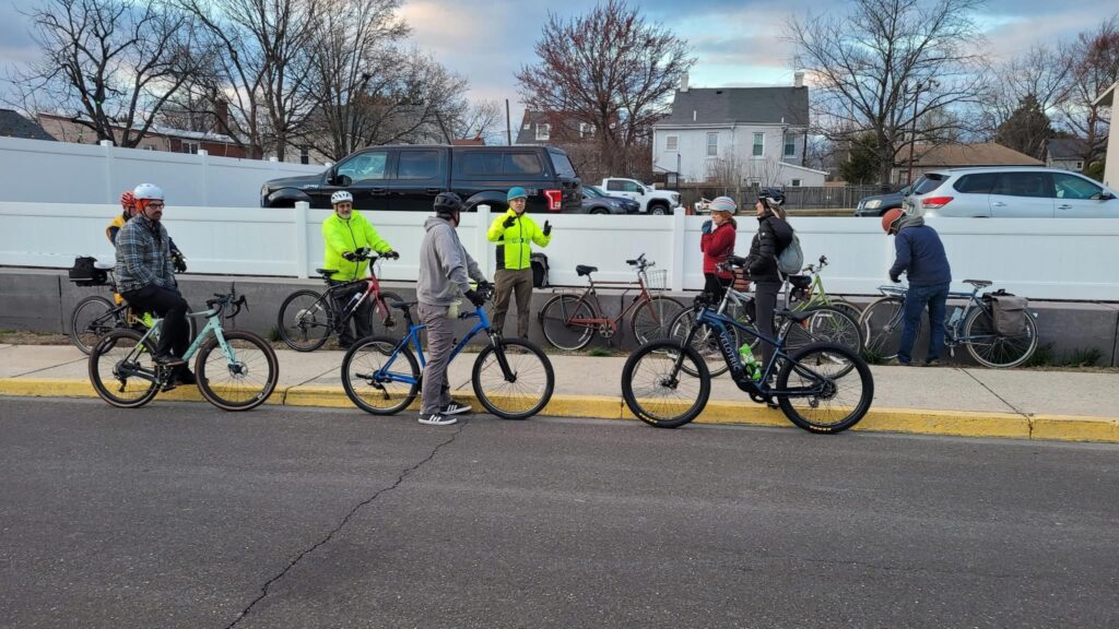
We started in the northeast section of the borough on the same route as the Tex Mex 5K, so we had a number of flat sections and some climbing on the streets in that neighborhood.

Map of North Wales Borough showing the parking lot cut through between 2nd Street and Main Street
Sometimes when we do this ride, we do a dog-leg crossing of Sumnytown Pike between East and West Montgomery Avenue. Because the road conditions of the SEPTA railroad crossing are currently so poor, we instead cut through the parking lot between 2nd Street and Main Street, and then used the crosswalk to get across Sumneytown Pike.
We then wound our way around the southeast section of North Wales Borough as the sun started to set and the collection of our bike lights shown brighter as we moved through the quiet neighborhood streets. The planned route was to cross North Wales Road on Shearer Street, and then enter Upper Gwynedd’s Parkside Place through the back entrance. However, we made a wrong turn, and ended up crossing North Wales Rd. at West Street and then completed a short an out and back via the path leading into the park off of Center Street.
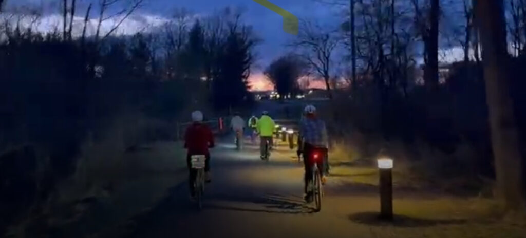
North Wales Ride – Group leaving Parkside Place via the Center Street Connector.
When possible, we try to program into these community rides to include cut-throughs or other features which might expose ways to get around on a bike which may not be familiar to folks on the ride. Though the back entrance to the park is not new and the path in and out of the park connecting to Center Street was upgraded with pavement and lighting more than three years ago (and North Wales Borough continues to add sidewalks along these street where they have been lacking), a number of people on the ride noted they were unaware of the Center Street connector path, and the lighting made it a very dramatic passage.
At the end of the ride, some of us stayed for a round of drinks at Tex Mex. What was unexpected was their outdoor porch was headed, both from overhead and a live fireplace.
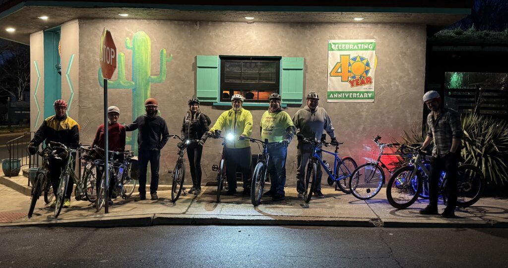
North Wales Ride – at the end, outside Tex Mex Connection.


 This is an interesting, short article describing the results of a recent study on the effects of bike riding and the metal health of middle school-aged students